Main Info
It is not just a ‘whisky route’ as claimed by many; it is a ‘whisky with ice route’ because of its beauty which is refreshing amidst the steepness. Approximately 50% of trekkers hiking Kilimanjaro would use this route every year. The hike ascends through Afromontane forest, breaks into the heath zone, and on opens to the edge of the remnants of the Shira volcano. The route then circumnavigates the main peak, Kibo, anticlockwise en route passing some spectacular features such as giant steppes and glacial valleys. With fewer days on the trek, you must be relatively physically fit and well acclimatized to successfully and enjoyably finish your climb. Like in all the other routes, you have to be physically fit to enjoy this route, but that’s not the only thing you need, it is essential that you have a good camera to capture the beauty of this route from the flora and fauna of the densely canopied rain forest to the late mind-blowing sunsets.
*This is a Luxury package based on 2 pax per person sharing with an option for an upgrade to a VIP package or downgrade to a Standard package. Pricing per person also gets fairer the more you are in a group. Kindly get in touch with us for a customized package*
Trek Highlights:
- Afromontane forest,
- Shira plateau,
- Glacial valleys and alpine desert,
- Views of Mawenzi,
- Ascent of Kibo and possible views of Kibo caldera and ash pit.
- Glaciers
- The roof of Africa!
Itinerary
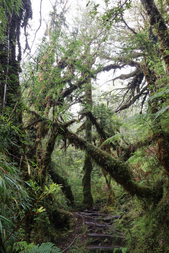
After breakfast you depart by vehicle to Kilimanjaro. At the gate your crew finalize packing and after completion of formalities, you start off from Machame gate (Alt 1,800m / 5,906ft). The day’s hike takes you through verdant Afromontane forest to Machame camp with a picnic lunch en-route. Look out for endemic flora and a graduation of forest zones! Overnight Machame Camp -Alt 3,000m / 9,843ft (full board).
Route Details
Start altitude | 5,906ft | |
Maximum altitude | 9,301ft | |
End altitude | 9,301ft | |
Vertical gain | 3,395ft | |
Drop | 0ft | |
Miles | 7 | |
Kilometers | 11.3 | |
Hike time (approx) | 7 hours |
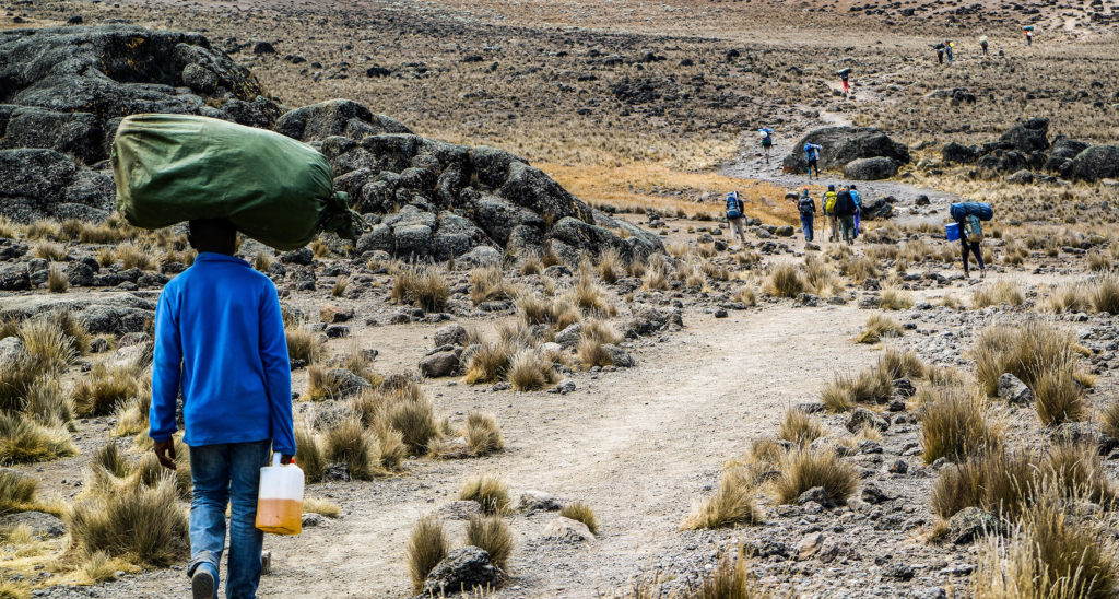
From Machame camp you hike to Shira Camp. The first section is relatively steep, and altitude is gained rapidly. Picnic lunch will be served on trail. The day’s trek will take you through a heath zone where attractive helichrysum and lobelia plants become apparent. Catch sights of various impressive natural geologic features ranging from lava tubes to glacial valleys. Overnight Shira Camp -Alt 3,750m / 12,303ft (full board).
Route Details
Start altitude | 9,301ft | |
Maximum altitude | 13,200ft | |
End altitude | 12,303ft | |
Vertical gain | 3,899ft | |
Drop | 897ft | |
Miles | 3 | |
Kilometers | 4.2 | |
Hike time (approx) | 6 hours |
This day’s hike will be a ‘climb high, sleep low’ trek. You will ascend into the alpine desert, and for those feeling particularly energetic heading even further to the Lava Tower, before descending to Barranco camp. Lunch is taken as picnic en route. This will be a long day but with greater rewards later - great acclimatization day! Overnight Barranco Camp -Alt 3,910m / 12,828ft (full board).
Route Details
Start altitude | 12,303ft | |
Maximum altitude | 15,100ft | |
End altitude | 12,828ft | |
Vertical gain | 2,797ft | |
Drop | 2,272ft | |
Miles | 6 | |
Kilometers | 9.7 | |
Hike time (approx) | 8 hours |
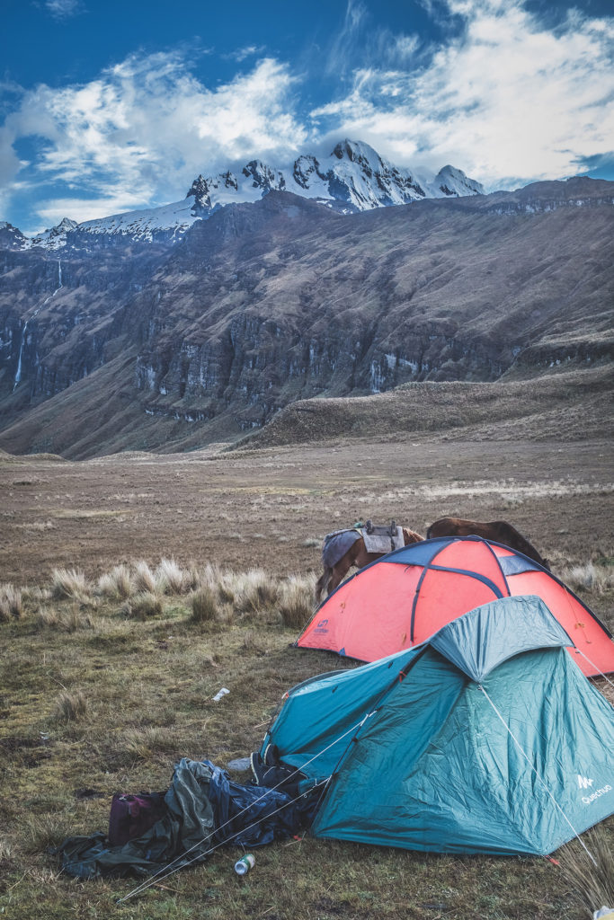
From Barranco camp, famous for its' giant groundsels (Senecio species), you will ascend the Barranco wall and hike glacial valleys to Karanga camp. Lunch is taken at Karanga valley before heading to Barafu in the afternoon. Desolate alpine desert and at times strong winds rip over this camp and yet in the evening splendid views of Mawenzi peak are the norm. A relatively early dinner is taken before heading to rest for the evening. Overnight Barafu Camp - Alt 4,600m / 15,092ft (full board).
Route Details
Start altitude | 12,828ft | |
Maximum altitude | 15,092ft | |
End altitude | 15,092ft | |
Vertical gain | 2,264ft | |
Drop | 0ft | |
Miles | 7 | |
Kilometers | 11.3 | |
Hike time (approx) | 8 hours |
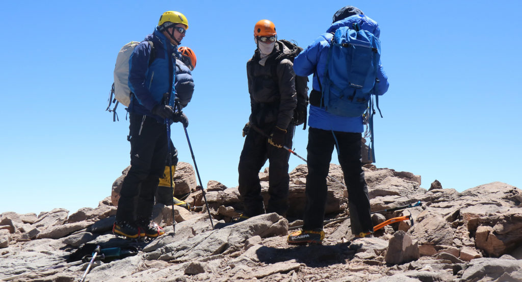
Most people depart just before midnight for the final summit bid. Patience and persistence are core values in reaching the summit and by dawn as the first rays of light start to appear, most arrive near the rim. Ascending via Stella Point affords a relatively short final section to Uhuru peak Alt 5,895m / 19,341ft), the Roof of Africa! What goes up must come down and your next goal will be reaching Mweka camp before dusk. Overnight Mweka Camp - Alt 3,100m / 10,171ft (full board).
Route Details (Barafu camp – Summit – Barafu camp)
Start altitude | 15,092ft | |
Maximum altitude | 19,341ft | |
End altitude | 15,092ft | |
Vertical gain | 4,249ft | |
Drop | 4,249ft | |
Miles | 6 | |
Kilometers | 9.7 | |
Hike time (approx) | 10 hours |
Route Details (Barafu camp – Mweka camp)
Start altitude | 15,092ft | |
Maximum altitude | 15,092ft | |
End altitude | 10,171ft | |
Vertical gain | 0ft | |
Drop | 4,921ft | |
Miles | 5 | |
Kilometers | 8 | |
Hike time (approx) | 4 hours |
After breakfast you descend once again through montane forest and around mid-day after saying farewell to your crew, you are picked up and transfer back to your lodge for a well-deserved shower!
Route Details
Start altitude | 10,171ft | |
Maximum altitude | 10,171ft | |
End altitude | 5,906ft | |
Vertical gain | 0ft | |
Drop | 4,365ft | |
Miles | 5 | |
Kilometers | 9.7 | |
Hike time (approx) | 4 hours |
Maps
Deprecated: round(): Passing null to parameter #1 ($num) of type int|float is deprecated in /home/nisimulieafrica/public_html/wp-content/themes/goto/framework-customizations/extensions/feedback/views/reviews.php on line 8

